Background

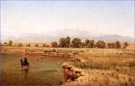
The South Platte River Basin covers thousands of square miles that include the Northern Front Range, the high mountains, and the eastern plains of Northeastern Colorado.
A very good source for learning about the physical aspects of the South Platte alluvium is the Groundwater Atlas of Colorado by the Colorado Geological Survey.
A good source of information about ground water administration in Colorado is the Colorado Division of Water Resources.
As the birthplace of several major rivers, Colorado has a long history of water legislation, regulation and collaboration to address the appointment of our water supplies. Here is A Brief Timeline of Groundwater Management in the South Platte Basin.
Working the Water: A Brief Human History of the South Platte River and its Aquifer